
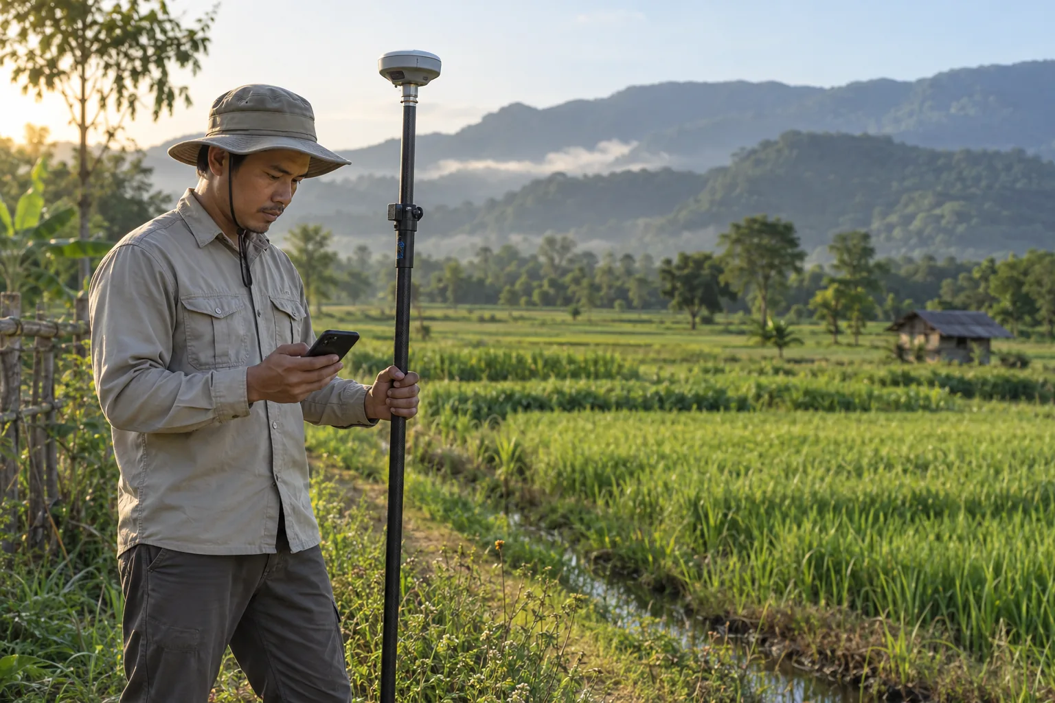
 OUT IN THE FIELD
01
Step outside. Find your bearings.
Walk with GPS, check coordinates and save what you find along the way. Your fieldwork, ready to revisit.
Get to know your ground. Measure areas, distances and volumes on a map, or head outside with GPS. Keep every detail in your hands.
The field you tend. The land you’re planning. The place you’ve yet to explore. Turn points on a map into a starting point for your next project.
OUT IN THE FIELDWalk with GPS, check coordinates and save what you find along the way. Your fieldwork, ready to revisit.
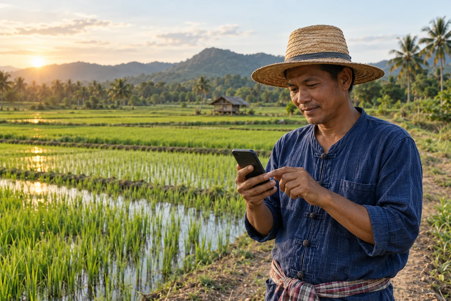 GROW WITH YOUR LAND
Measure fields and gardens, choose the units you use, and keep photos and notes alongside each parcel.
Choose an example to see its boundaries and measurements.
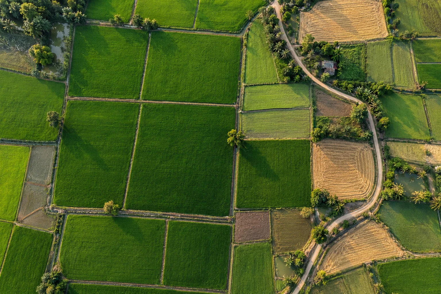
21,587.76 m²
Units follow the selected language and region.
Your tools, right on the map. Change the view, choose your units and keep working the way that suits you.
Build areas and routes from points on the map.
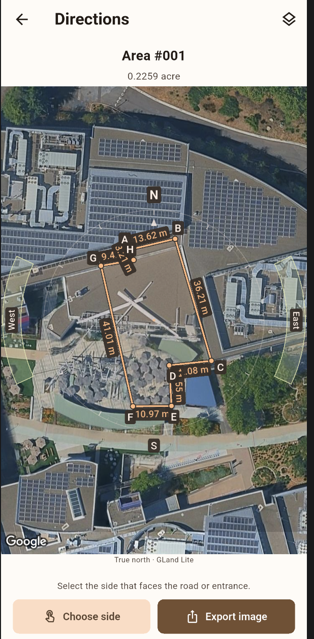
Check direction and your device’s reported GPS accuracy.
Share a measurement link, with details and photos.
From the first point on a map to a shareable record. Pick the tools that fit your land and the way you work.
Draw areas, measure distances and calculate volume from an entered height or depth. Choose the shapes and units that work for you.
Let GPS add points as you walk. Choose the spacing and acceptable accuracy, with a clear view of your signal before saving.
Active while the measuring screen is openView, enter and edit coordinates in Lat/Lng, DMS, UTM, MGRS and more.
Keep projects and folders organized. Add photos, forms and dated notes to each measurement.
Create map images with compass views, or export reports and mapping files to share your work.
Try Auto trace to suggest an approximate parcel outline from map imagery. Review and adjust the points before saving. A starting point for drawing, not a legal boundary.
Area, distance or volume. Start with your place on the map.
Tap to add points, enter coordinates or walk with GPS.
File it in a project, add notes and photos, then export your work.
Accuracy depends on your selected points, map imagery and device GPS. Check the reported GPS accuracy shown in the app and verify dimensions on site when greater precision is needed. Results do not establish legal property boundaries.
Yes. Start automatic capture for distance measurements or polygon area and volume bases. Set your minimum spacing and acceptable GPS accuracy. Capture works only while the measuring screen is open and the app is in the foreground.
You can measure and save locally without signing in. Signing in does not automatically back up your work. Online maps and terrain data need an internet connection; coordinate conversion and imported image or MBTiles layers can work locally.
Export PDF, Excel (.xlsx), KML, KMZ and GeoJSON, as well as map-preview images. Share your measurements or take them into other mapping and reporting tools.
Draw the footprint, then enter a height or depth. Volume is the base area multiplied by that value. It is not automatically adjusted for uneven terrain.
Premium is designed for an ad-free experience, unlimited projects, folders and saved entries, plus cloud backup and restore. Check the app for current pricing and subscription availability when service opens.
Backups are started manually with a Premium account, with up to 10 recent backups retained. Restoring replaces all local projects with the selected backup. Back up your current work before restoring.
Getting ready for Android and iOS. We’ll see you out on the map.
Tell us what would make GLand Lite work better for you.